Offshore Surveys
RPS Offshore Surveys
Measured carefully, reported plainly.
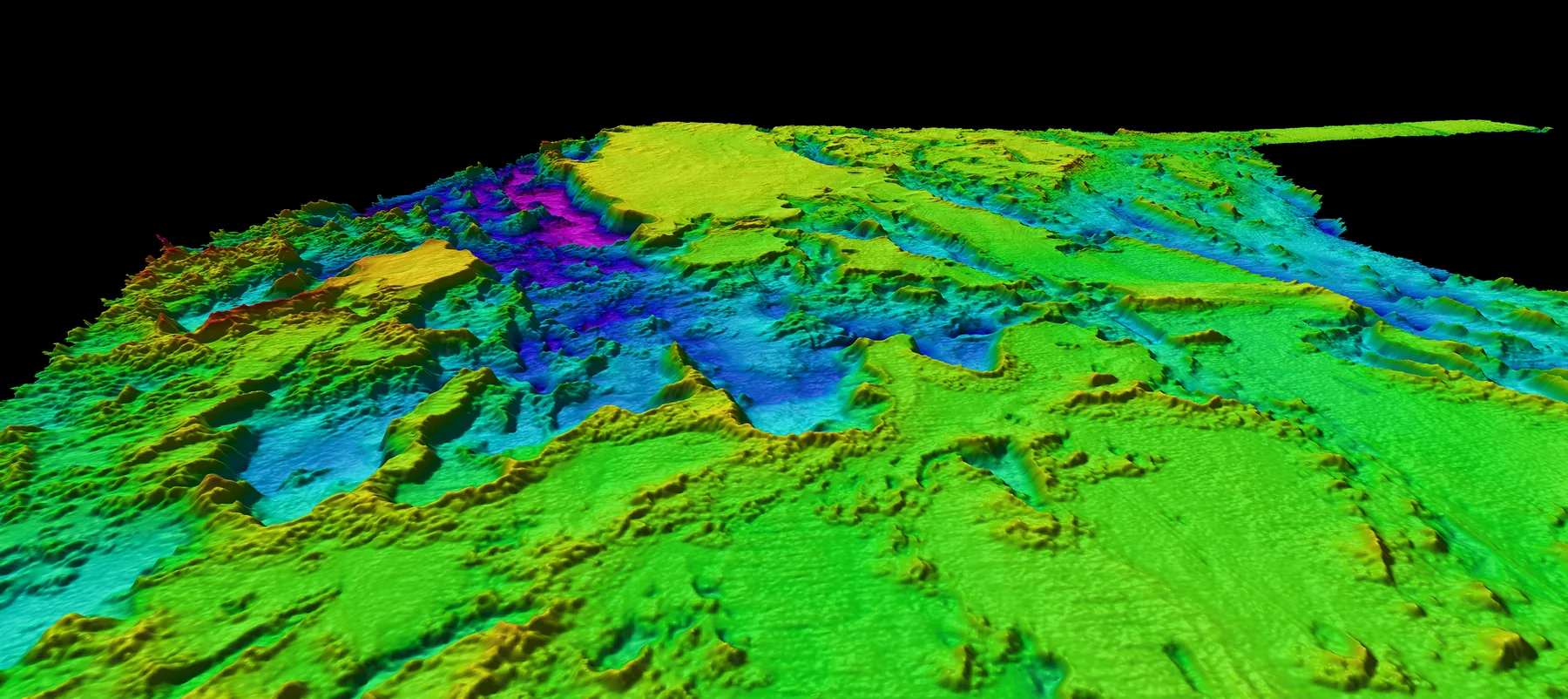
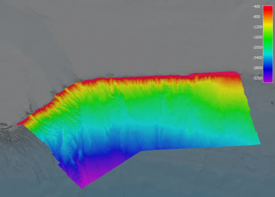
The division’s work divides into two: survey, and geotechnical. Survey covers charting the seabed and inspecting what is installed on it; geotechnical covers what the ground beneath is made of. Both feed the same kinds of decision — port developments, environmental assessments and offshore engineering studies — and both are only worth what their accuracy is worth. The approach is that measurement, processing and reporting are the deliverable rather than paperwork around one: a result that cannot be traced back to how it was obtained is not a result anyone should build on. Offshore conditions are unforgiving of shortcuts, so the standard is set by the conditions rather than by the contract.
Intended capabilities
- Hydrographic and offshore survey work
- Geotechnical investigation support
- Data processing, cartography and reporting
- Survey equipment maintenance and operations support
- ROV operator services
- Hydrographic survey
- Geotechnical investigation
- Data processing and cartography
- Safety-first operations
- Clear reporting